10 / 06 / 2025
Let's walk
As part of TY-CO – Typologies of Community, we’re thrilled to share a brand-new walking map created by OPU Collective. Based on the graphic style of transit maps, this schematic walking map — known as metrominuto — shows distances and walking times between key landmarks around Lefkosia.
re-imagining
how we move
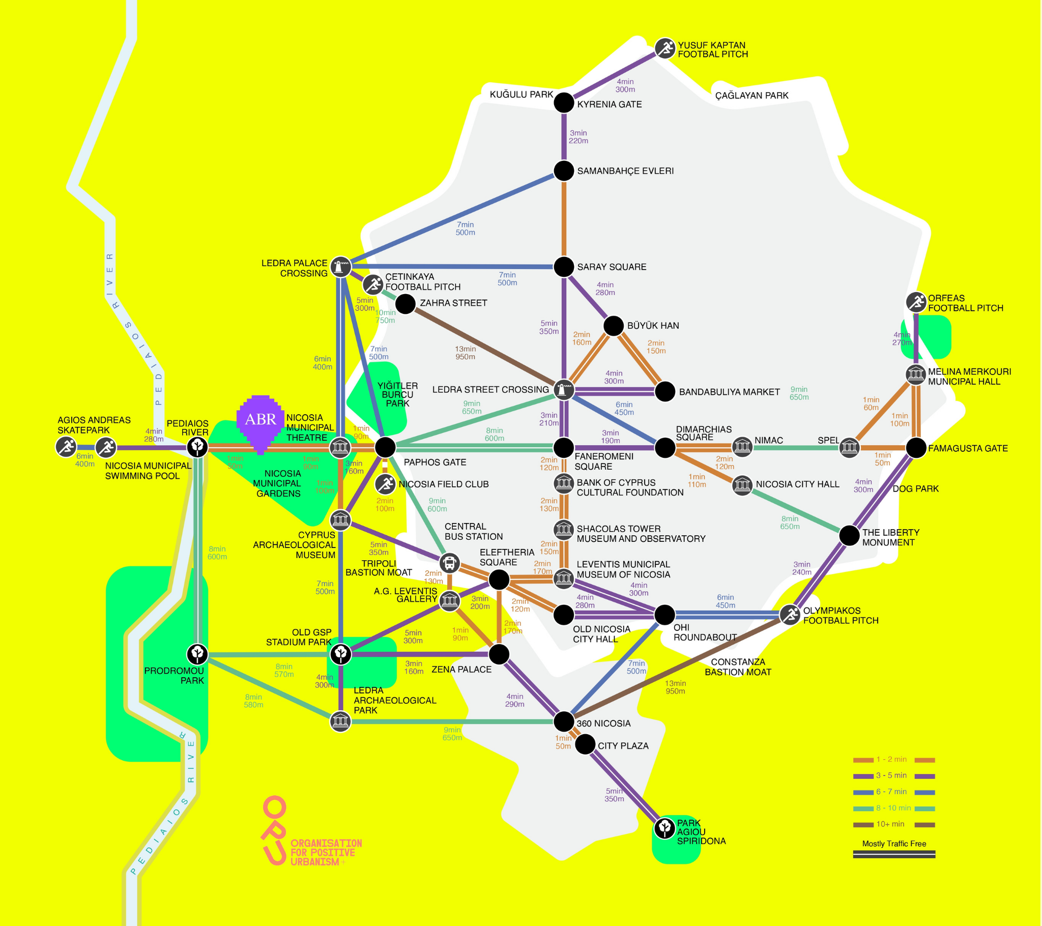
Colour-coded by walking time, it highlights how walkable the city really is, often just a few minutes from one stop to the next, with many routes mostly traffic-free.
The distance markers make it a handy tool not just for walkers but for cyclists too — encouraging everyone to explore the city one short trip at a time.
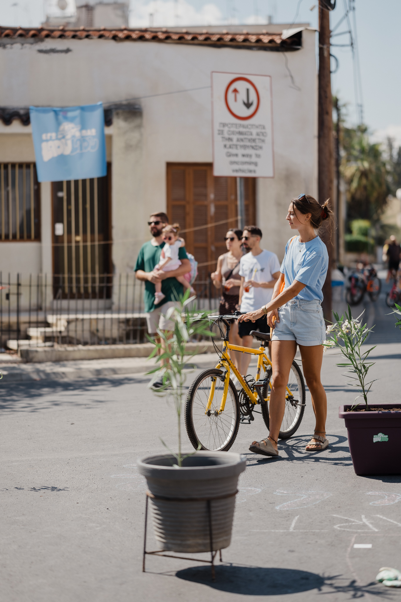
And this is just the beginning. The plan is to grow the map to connect more neighbourhoods, more points of interest and to also make more maps like this — soon — for other cities across Cyprus.
Because re-imagining how we move is part of re-framing how we live in our cities.

Save this map & start walking.
Why it matters for TY-CO
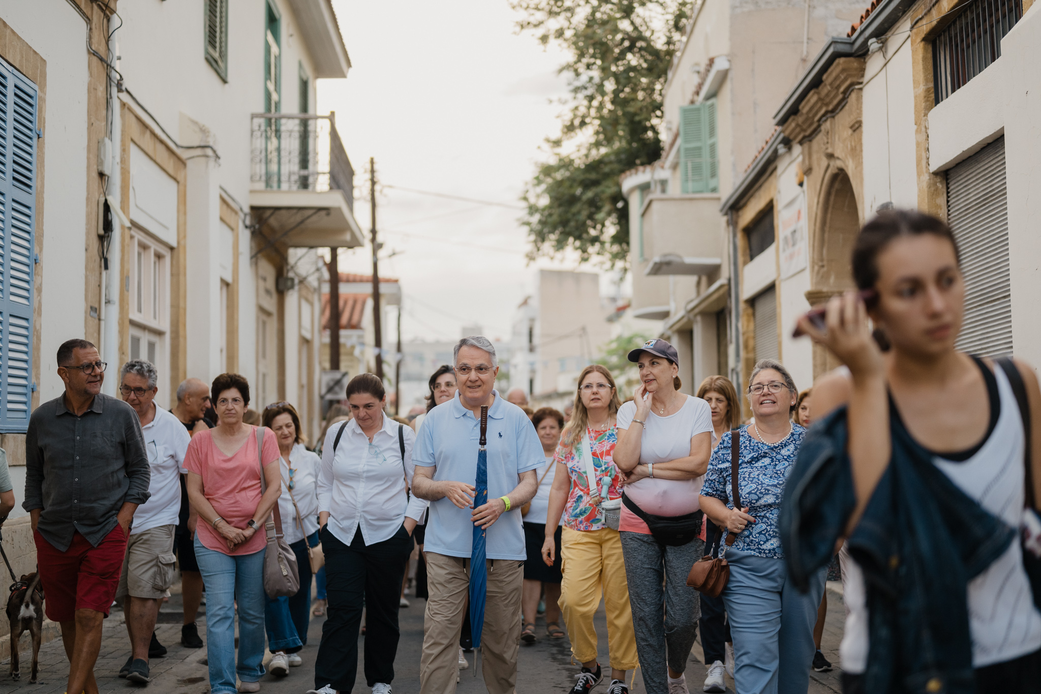
TY-CO asks how communities form around culture, and who gets to use the city. OPU’s map answers with something simple: it shows that the centre of Lefkosia, on both sides, is already walkable, and invites people to treat its streets as shared space. It sits alongside OPU’s car-free Laou Laou days and the Community Kitchen we hosted together, and it appears in The Good News Gazette as “Nicosia now: you can already walk it”.
Map: OPU – Organisation for Positive Urbanism
TY-CO (communities in conversation) · ABR – Alternative Brains Rule · Co-funded by the European Union
Funded by the European Union. Views and opinions expressed are however, those of the author(s) only and do not necessarily reflect those of the European Union or the European Education and Culture Executive Agency (EACEA). Neither the European Union nor EACEA can be held responsible for them.